About Lere
Discover the culture, geography, and economy of Lere Local Government Area.
General Information
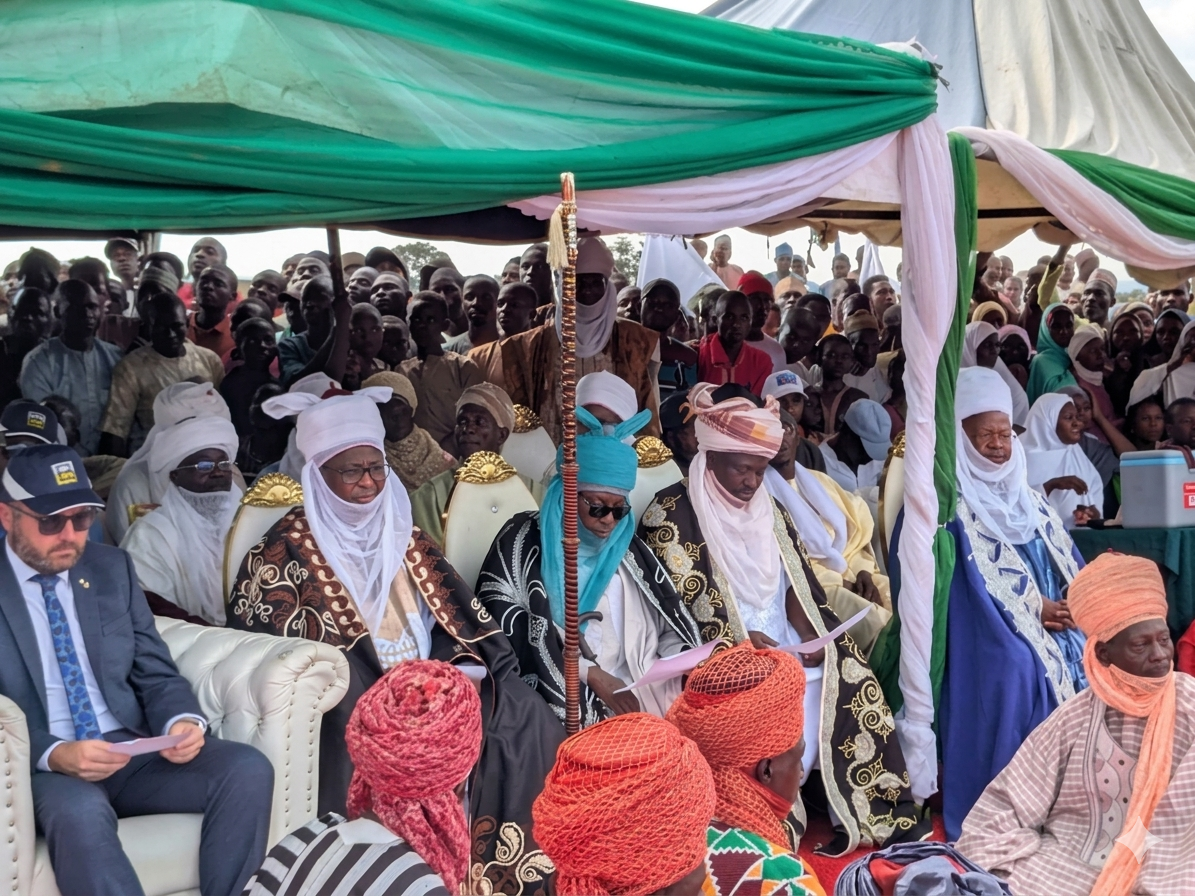
Leadership
- Executive Chairman: Hon. Jaafaru Ahmed
- Vice Chairman: Dr. Kalen Ephraim Audu
Location & Geography
- Location: Southern Kaduna State, Nigeria
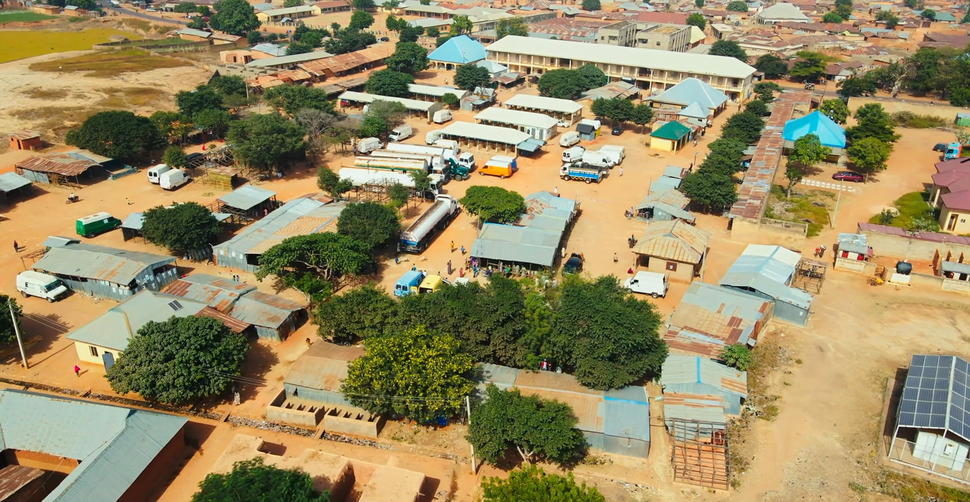
- Headquarters: Saminaka
- Coordinates: Lere Town: 10°39′N 8°57′E
- Area: 2,634 km²
- Neighboring LGAs: Kauru (west and south), Kubau (northwest), Doguwa (north, Kano State), Toro (east, Bauchi State), Bassa (southeast, Plateau State)
Demographics
- Population: 339,740 (2006 Census)
- Major Ethnic Groups: Hausa and Fulani, with Gbagyi and other indigenous communities
- Languages Spoken: Hausa (predominant), English, Fulfulde, and various indigenous languages
- Religion: Predominantly Islam, with Christian communities
Economy & Climate
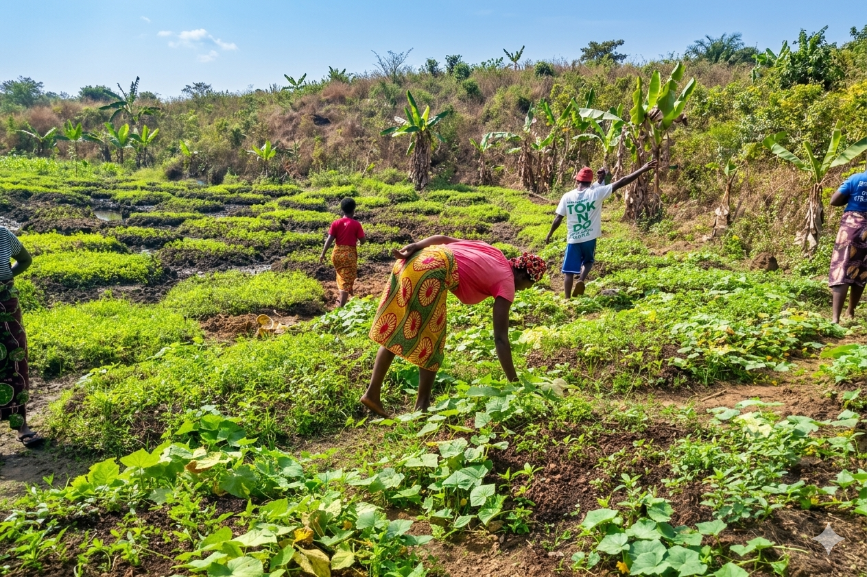
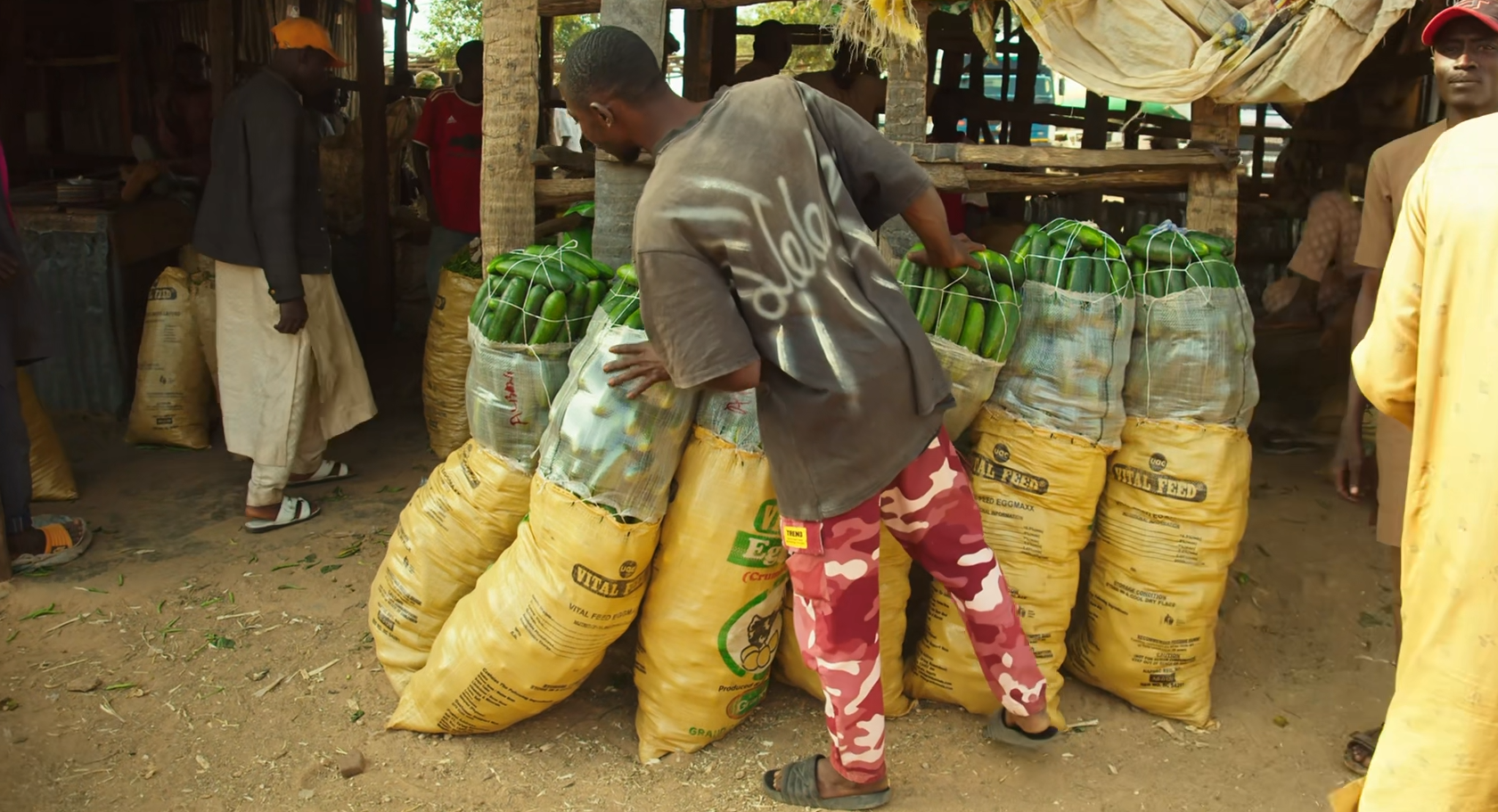
- Main Economic Activities: Farming, livestock rearing, small-scale trading, and local industries
- Climate: Tropical savannah climate suitable for agriculture
Geography & Economy
Location
Lere LGA features a predominantly savannah landscape, with fertile soils that support agricultural activities. The area experiences a tropical climate with a rainy season that supports farming.
Climate
The area experiences a tropical savanna climate with distinct wet and dry seasons. The rainy season runs from April to September, while the dry season extends from October to March.
Main Economic Activities
- Crop Farming: Maize, millet, groundnuts, and beans.
- Livestock Rearing: Cattle, goats, and poultry.
- Local Markets: Trading hubs in Saminaka and other towns.
- Environmental Initiatives: Tree planting and regenerative agriculture programmes to combat deforestation.